UN
9 Lambs Walk
£ 205,000
Description
We don't have a Description for this property.
- Bedrooms
- 3
- Bathrooms
- 0
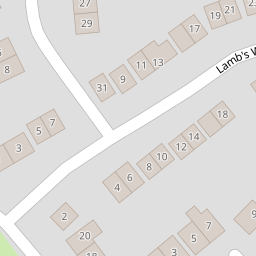


Leaflet © OpenStreetMap contributors
The heatmap indicates the level of crime in the area. The color of the heatmap indicates the crime severity and recency.
Metrics Year-on-Year
- Average area value
- 355,329.00 £Decreased by 12.56 %
- Average area rental value
- 1,374.00 £/moIncreased by 19.48 %
- Est rental Yield
- 4.64 %Increased by 36.47 %
- Crime Rate
- 11.00 %Unchanged by 0.00 %
from 406,350.00 £
from 1,150.00 £/mo
from 3.40 %
from 11.00 %
Nearby Schools
| Name | Type | Ofsted | Distance |
|---|---|---|---|
| Joy Lane Primary Foundation School | Foundation School | Good | 0.69 KM |
| Joy Lane Children'S Centre | Children's Centre | 0.73 KM | |
| Whitstable Junior School | Foundation School | Good | 1.50 KM |
| St Alphege Church Of England Infant School | Voluntary Controlled School | Good | 1.51 KM |
| Whitstable And Seasalter Endowed Church Of England Junior School | Voluntary Aided School | Outstanding | 1.77 KM |
Images
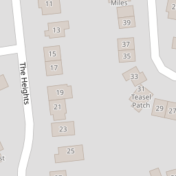
Nearby Streets
| Name | Average Price | Average Sqft | Distance |
|---|---|---|---|
| The Heights | £ 350,000 | 0 | 0.00 KM |
| Millers Court | £ 0 | 0 | 0.00 KM |
| Ivydene Avenue | £ 0 | 0 | 0.00 KM |
| Hilltop | £ 575,000 | 0 | 0.00 KM |
| Orchard Grove | £ 550,000 | 0 | 0.00 KM |
Nearby Transport
| Name | NLC | TLC | Distance |
|---|---|---|---|
| Whitstable | 5196 | WHI | 2.21 KM |
| Chestfield And Swalecliffe | 5200 | CSW | 5.62 KM |
| Canterbury West | 5007 | CBW | 9.11 KM |
| Chartham | 5008 | CRT | 9.64 KM |
Nearby Listings
| Address | Price | Type | Score | Distance |
|---|---|---|---|---|
| Lambs Walk, Whitstable | £ 400,000 | BUY | 7 / 10 | 0.01 KM |
| Lambs Walk, Whitstable, CT5 | £ 400,000 | BUY | 6 / 10 | 0.05 KM |
| Robin Lodge, Sherwood Close, Whitstable | £ 500,000 | BUY | 6 / 10 | 0.07 KM |
| Meadow Walk, Whitstable, Kent | £ 450,000 | BUY | Unknown | 0.12 KM |
| The Heights, Whitstable | £ 350,000 | BUY | 6 / 10 | 0.13 KM |
Nearby Properties
| Address | Price | Distance |
|---|---|---|
| 32 Lambs Walk | £ 184,000 | 0.00 KM |
| 4 Lambs Walk | £ 343,000 | 0.00 KM |
| 17 Lambs Walk | £ 182,000 | 0.00 KM |
| 34 Lambs Walk | £ 454,000 | 0.00 KM |
| 22a Lambs Walk | £ 185,000 | 0.00 KM |